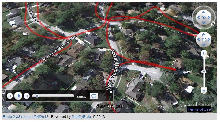
 Take an aerial tour of Secret Woods. Every street has been mapped in the tour.
1/2/2018 Editor’s Note: The aerial tour referenced on this page no longer works because of a change made by MapMyRide.
Tip: Hover over the video below with your mouse and then use your browser’s magnify feature to blow up the video and use the pause button to stop along the way to study the views from above. If you can’t see the video you need to install the free Google Earth plug-in, which is available for Windows and Mac PCs.

